Previous Interfaces
MOHID GIS
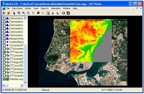
Data management is getting more and more important and cannot be solved without the use of a geographical information system (GIS). Thus, Mohid GIS was developed to give response to Mohid users needs in this field, allowing to easily input data into the model (e.g. box definition, definition point location for time series outputs, initialise properties fields, create digital terrain models, etc).
Mohid GIS is written in Microsoft Visual Basic .NET and uses some executable extensions written in FORTRAN 95.

MOHID GUI
MOHID GUI is a Microsoft Windows based application designed to manage input (pre-processor) and output data files used and generated by MOHID (post-processor). It also serves as the main application which joins all MOHID software. It is written in Microsoft Visual Basic .NET and uses some executable extensions written in FORTRAN 95.